
The following GPS TRACKS can be downloaded and used when riding individually
Big Red Barn:
Trail Ratings:
Technical: 5/10 (estimate as this is a new ride)
Hills: 4/10
Distance: Approx. 38km
Starting From: Red Barn
GPS Coordinates: S25.928523 E28.227716
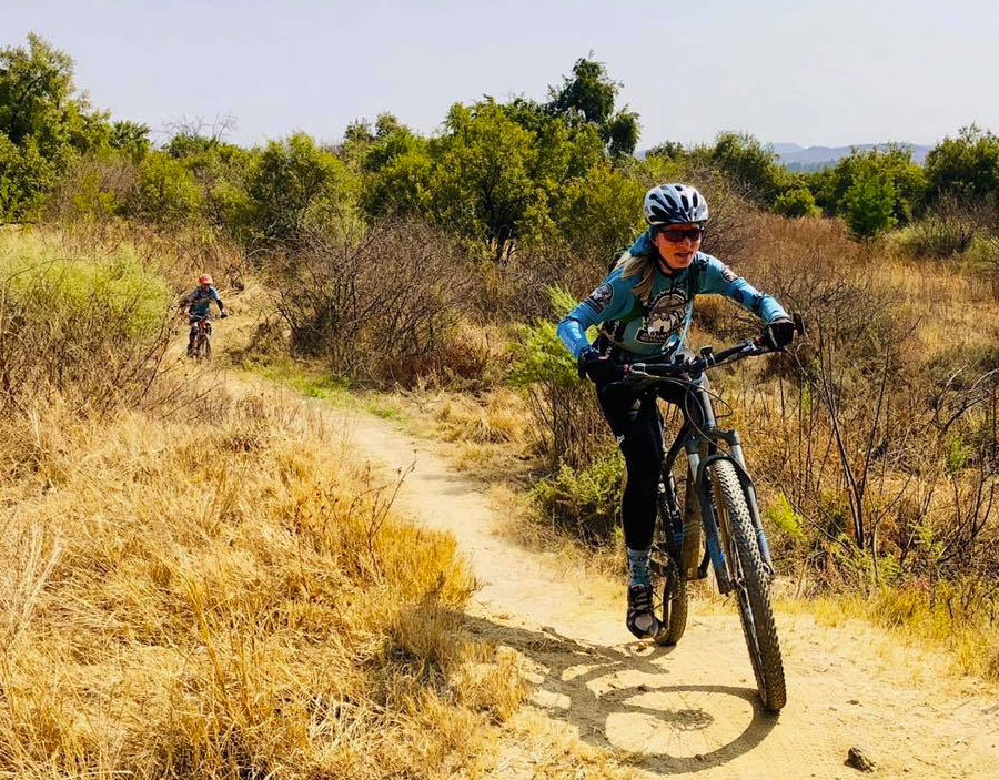
Description: A new ride venue for some and for others the track will be familiar from the Midrand to Irene ride and if you have done any of the USN races. Serious single track and forested sections - awesome stuff – don’t miss this one. Red and Blue will be guided on ride tracks off the Red Barn farm tracks and Yellow can do the same if they want to. We have arranged for a discount for all riders. JMBC will pay for all JMBC members, and Visitors pay JMBC the usual R30.00 visitor's fee plus R30.00 entrance fee. There is a coffee shop at the venue where you can get something to drink and eat.
Download (GPD)
Cradle Moon:
Trail Ratings:
Technical: 7/10
Hills: 7/10
Distance: Approx. 46km
Starting From: Cradle Moon
GPS Coordinates: S25.962129 E27.858552.
Description: Every one of the trails has been carved to perfection and incorporates a host of features including jeep track, single track, floating bridges, forest trails, fast winding descents and a couple of heart pumping hills. The venue hosts some spectacular scenery and game viewing.
There are 3 routes. Green can do the Blue route and maybe a bit of the Yellow route. Yellow will do the Blue and Yellow route to total 31km. Red and Blue can do all 3 routes if so inclined to total 46km, or do a bit of the Blue route and the whole Yellow and Red routes.
Routes are as follows. Blue for Easy to Intermediate and totals 12.5km.This is the base trail as all the trails start on Blue. This route stays close to the base and make for an easy hop back to the venue. It has ups, downs, switch-backs, water features and even a bit of river frontage. Yellow for Intermediate riders and totals 18.5km. Yellow takes you to the South Western side of the complex. Get onto the Blue route and it splits to Yellow, travelling West alongside the lake. Plenty of trees line the way with winding single track through 8 forest sections. Some of the descents are hairy so be careful. Red is for the advanced rider and totals 15km. Red ends up travelling to the Northern side of the complex as it covers the high lying territories. Get onto the Blue route and follow it until it splits to Red, just before the river crossing below the dam wall. You’ll join the Blue route on the way home.
Download
Modderfontein Nature Reserve:
Trail Ratings:
Technical: 4/10 (8/10 for technical route - rocky technical drop offs)Hills: 5/10 (7/10 for Technical Course - short sharp climbs)
Distance: Approx. 40km
Starting From: Modderfontein Nature Reserve
GPS Coordinates: S 26.08315° E 28.139334°
Description: This ride venue has a little bit for everyone. For the greenies there is a gravel road/jeep track path round the perimeter – venture onto some of the single tracks if you are so inclined. For everyone else, a whole lot of forest single track, some hills at the back fence, and a slick rock climb. There is a very technical black route for those inclined to test their skills to the limit.
Download
Northern Farm:
Trail Ratings:
Technical: 3-6/10
Hills: 3/10
Distance: Approx. 17-60km
Starting From: Northern Farm Car Park
GPS Coordinates: S25.937547 E27.988878
Description: Northern Farm is the go-to venue for everyone looking for a choice of tracks. It is ideal for beginners who can ride the dirt roads, jeep tracks and try out some single track on the green route. Northern Farm is continually upgrading their facilities and advanced technical riders will find suitable tracks too, particularly in the Enchanted Forest. There is a wide choice. You can either follow the marked routes or configure your own once you get to know the area.
Download
Van Gaalen's Cheese Farm:
Trail Ratings:
Technical: 8/10
Hills: 9/10
Distance: Approx. 42km
Starting From:Van Gaalen's Cheese Farm:
GPS Coordinates: S25.78779 E27.77089
Description: This still has to be the best single track in Gauteng along the Magalies River which forms the end of the ride. You will first climb the Witwatersberg up some serious rocky switchbacks, then ride down into a valley and up some more switch backs.
You then descend to a second river trail (awesome). Then come Piet's Place climb and the river trail for the rest and return to Van Gaalen’s. You will work hard for your money - don't lose concentration!